All books / Book
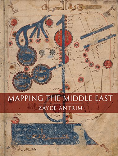
Mapping the Middle East
| Full title: | Mapping the Middle East |
|---|---|
| ISBN: | 9781780238500 |
| ISBN 10: | 1780238509 |
| Authors: | Antrim, Zayde |
| Publisher: | Reaktion Books |
| Edition: | Illustrated |
| Num. pages: | 336 |
| Binding: | Hardcover |
| Language: | en |
| Published on: | 2018 |
Read the reviews and/or buy it on Amazon.com
![]()
Synopsis
Mapping The Middle East Explores The Many Perspectives From Which People Have Visualized The Vast Area Lying Between The Atlantic Ocean And The Oxus And Indus River Valleys Over The Past Millennium. By Analysing Maps Produced From The Eleventh Century On, Zayde Antrim Emphasizes The Deep Roots Of Mapping In A World Region Too Often Considered Unexamined And Unchanging Before The Modern Period. Indeed, Maps From The Nineteenth And Twentieth Centuries, Coinciding With The Eras Of European Colonialism And The Rise Of The Nation-state, Have Obscured This Deeper Past And Constrained Future Possibilities. Mapping The Middle East Is Organized Chronologically To Contextualize And Interpret Compelling Maps From Each Period. Chapters Address The Medieval `realm Of Islam', The Sixteenth- To Eighteenth-century Ottoman Empire, French And British Colonial Mapping Over The Long Nineteenth Century, National Mapping Traditions In Modern Turkey, Iran And Israel/palestine, And Alternative Geographies In Twentieth- And Twenty-first-century Maps. Vivid Colour Illustrations Allow Readers To Follow The Argument On The Surface Of The Maps. Rather Than A Conventional History Of Cartography, Mapping The Middle East Is An Incisive Critique Of The Changing Relationship Between Maps And Belonging In A Dynamic World Region Over The Past Thousand Years. Introduction : On The 'middle East' And Mapping -- Mapping The 'realm Of Islam' -- Mapping In The Ottoman Empire -- European Colonial Mapping In The Long Nineteenth Century -- Enclosure And Exclusion In National Mapping -- Mapping Alternative Geographies. Zayde Antrim. Includes Bibliographical References (pages 265-321) And Index.